

 Image 1 of 1
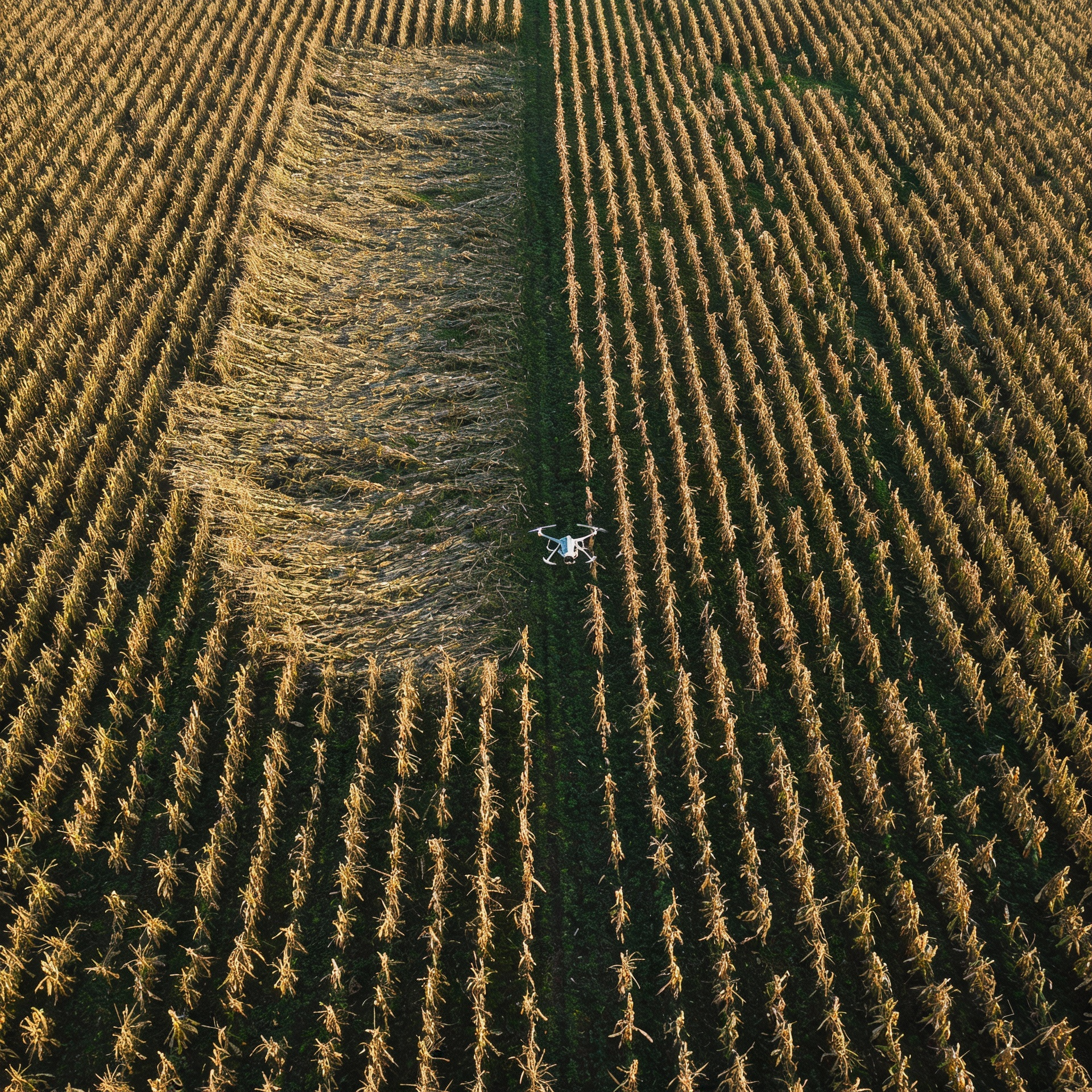
Agricultural Mapping & Field Analysis
ROAR provides professional aerial mapping and data products designed to support modern agricultural decision-making. Using enterprise-grade UAS platforms and precision flight planning, we capture high-resolution, survey-quality imagery that is processed into accurate, georeferenced deliverables.
Our agricultural services include full-field 2D orthomosaic maps, field boundary measurements, acreage verification, and detailed visual documentation of crop conditions, damage, and variability across an entire field. These products give producers, landowners, and ag professionals a clear, objective view of their operation that cannot be achieved from the ground alone.
ROAR’s deliverables are optimized for practical use—whether that is evaluating crop health trends, identifying problem areas, documenting storm or wildlife damage, supporting insurance and adjustment claims, or establishing baseline data for future comparisons. When needed, we can also provide targeted close-up and oblique imagery to add context and clarity to specific areas of concern.
All data is delivered in easy-to-use formats suitable for reports, GIS platforms, and record-keeping, with a focus on accuracy, repeatability, and defensible documentation. ROAR brings big-city aerial mapping capabilities to rural agricultural operations—fast, reliable, and tailored to real-world farm needs.