Contact Us
Need fast, reliable aerial support or documentation? ROAR provides professional drone services for public safety agencies, insurance and public adjusters, and agricultural operations across rural and small-town Kansas.
Whether you’re coordinating an incident, documenting a loss, or mapping a field, we deliver clear, defensible aerial data—on time and ready to use.
Services We Provide
Public Safety
Incident overwatch and aerial reconnaissance
SAR aerial support and perimeter awareness
Motor-vehicle accident scene aerial documentation
Fire loss and post-incident aerial documentation
Orthomosaic mapping and 3D models for training, pre-plans, and after-action reviews
Insurance & Public / Independent Adjusters
Fire, hail, wind, flood, and storm-damage documentation
Roof, structure, and property overview imagery
Orthomosaic maps and measurements for estimates and reports
Time-stamped, organized imagery suitable for claims files
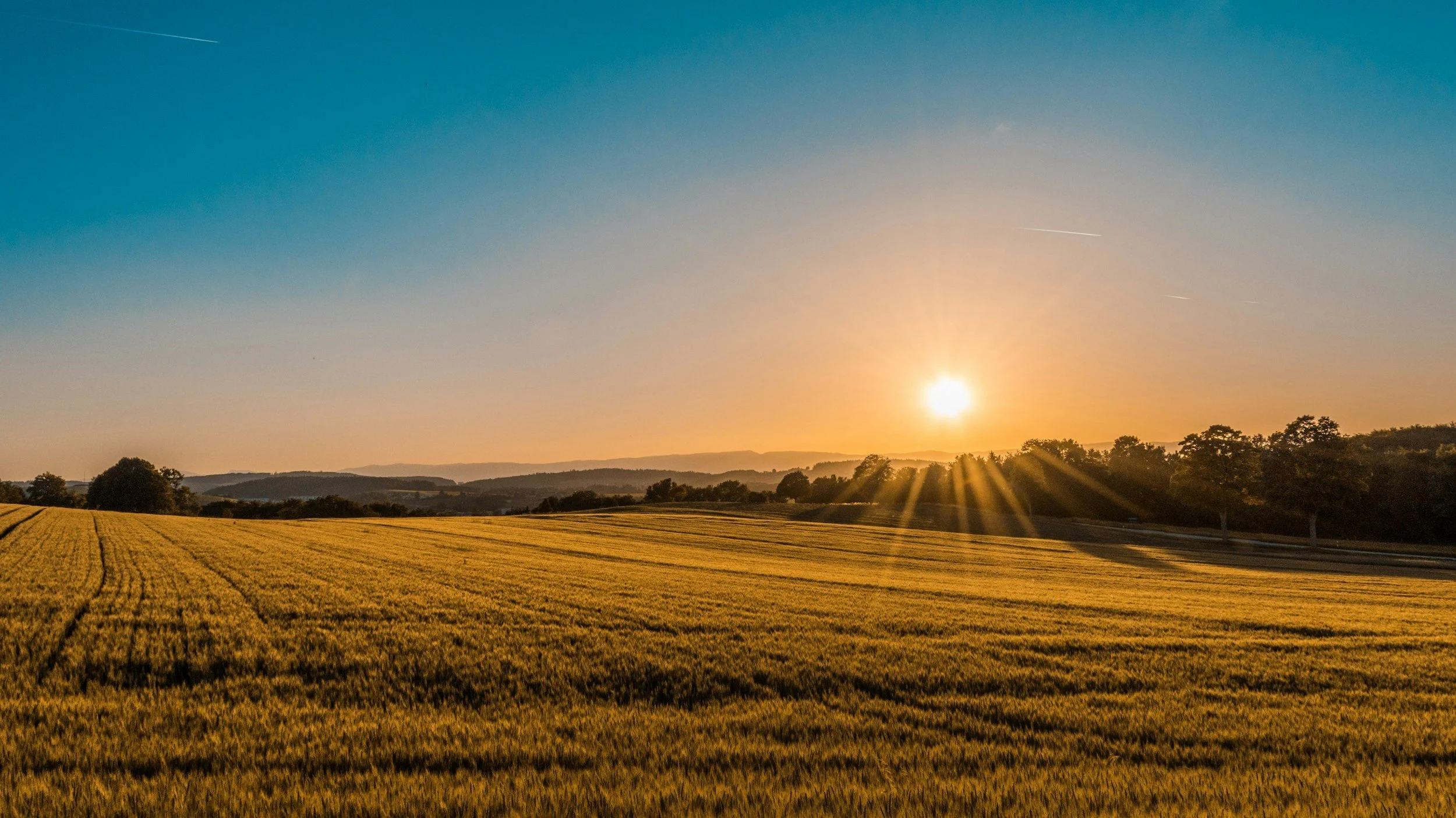
Agriculture
High-resolution field mapping and acreage verification
Crop health and stand-condition imagery
Storm-damage documentation for insurance or adjustment needs
Field visuals to support planning and decision-making
Request Service or a Quote
Use the form below and include as much detail as possible to help us respond quickly:
For Public Safety Agencies
Agency name and contact person
Incident type or documentation need
Location and urgency
Preferred response window
For Insurance / Adjusters
Property location
Type of loss or damage
Timeline or reporting deadline
Any specific documentation requirements
For Agriculture
Field location
Approximate acreage
Crop type
Service needed and preferred timing
ROAR will follow up promptly to confirm details, discuss scope, and schedule the mission.
ROAR Drones is based in Kansas and primarily serves south-central Kansas and surrounding areas. If you’re unsure whether your location or project is a good fit, reach out—we’re happy to talk it through.
Service area: within a ~2-hour drive of Halstead, KS
JoeyDonaldson@roardrones.com
(316)617-2961