

Our Services
ROAR offers a verity of services for both Agriculture and Insurance/ Public Adjusters.
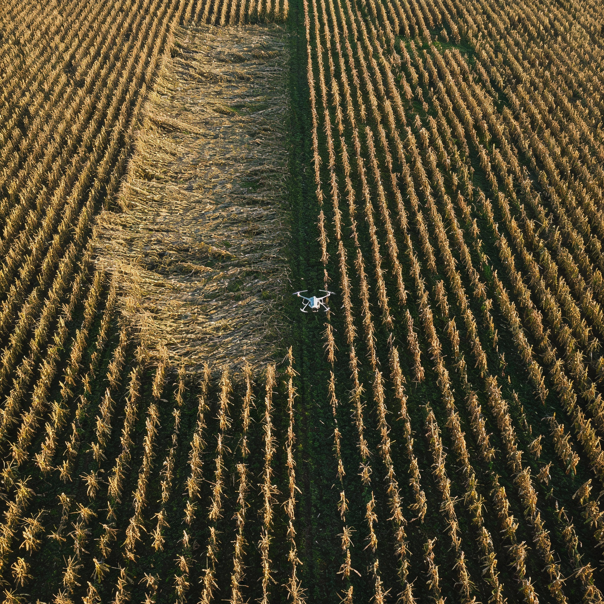
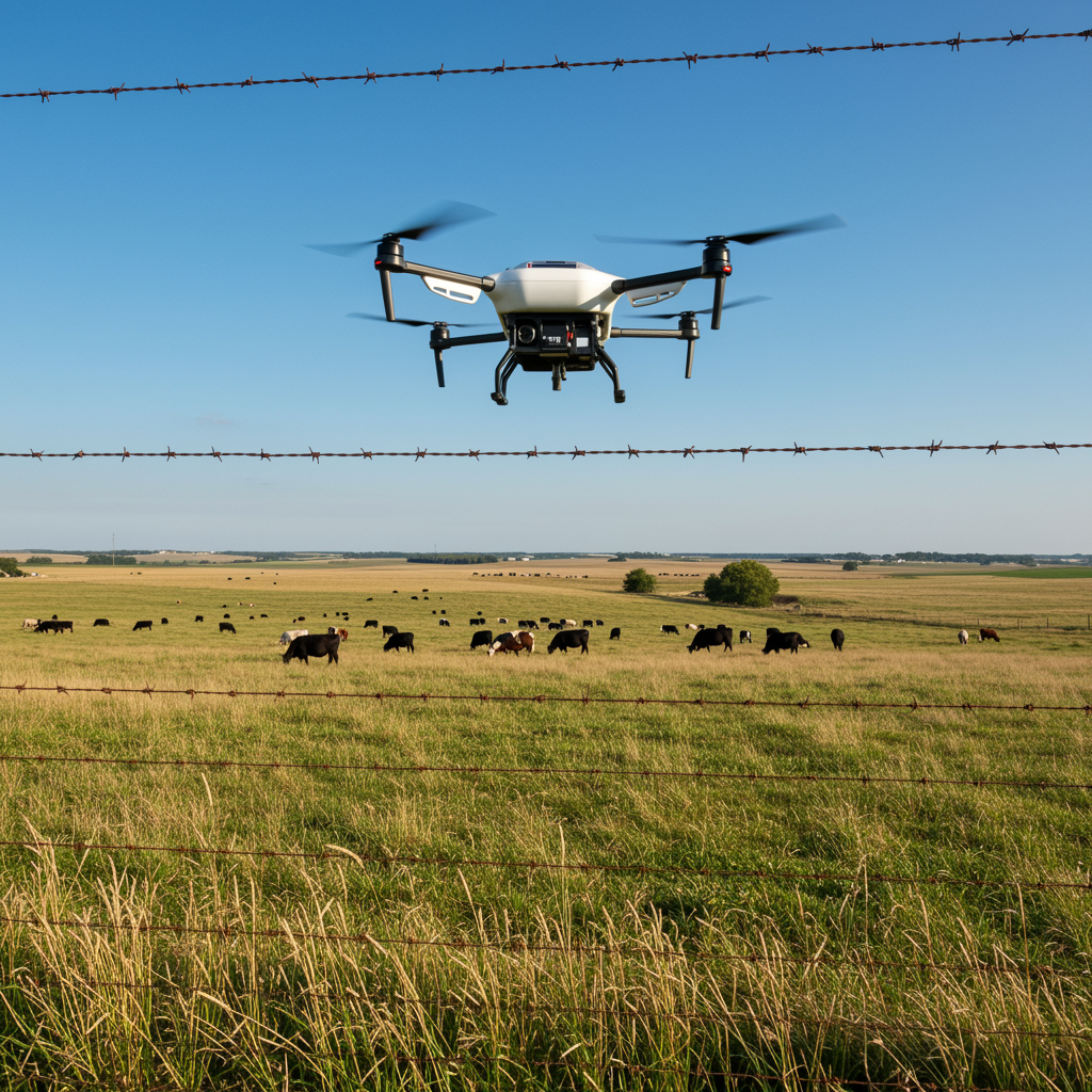
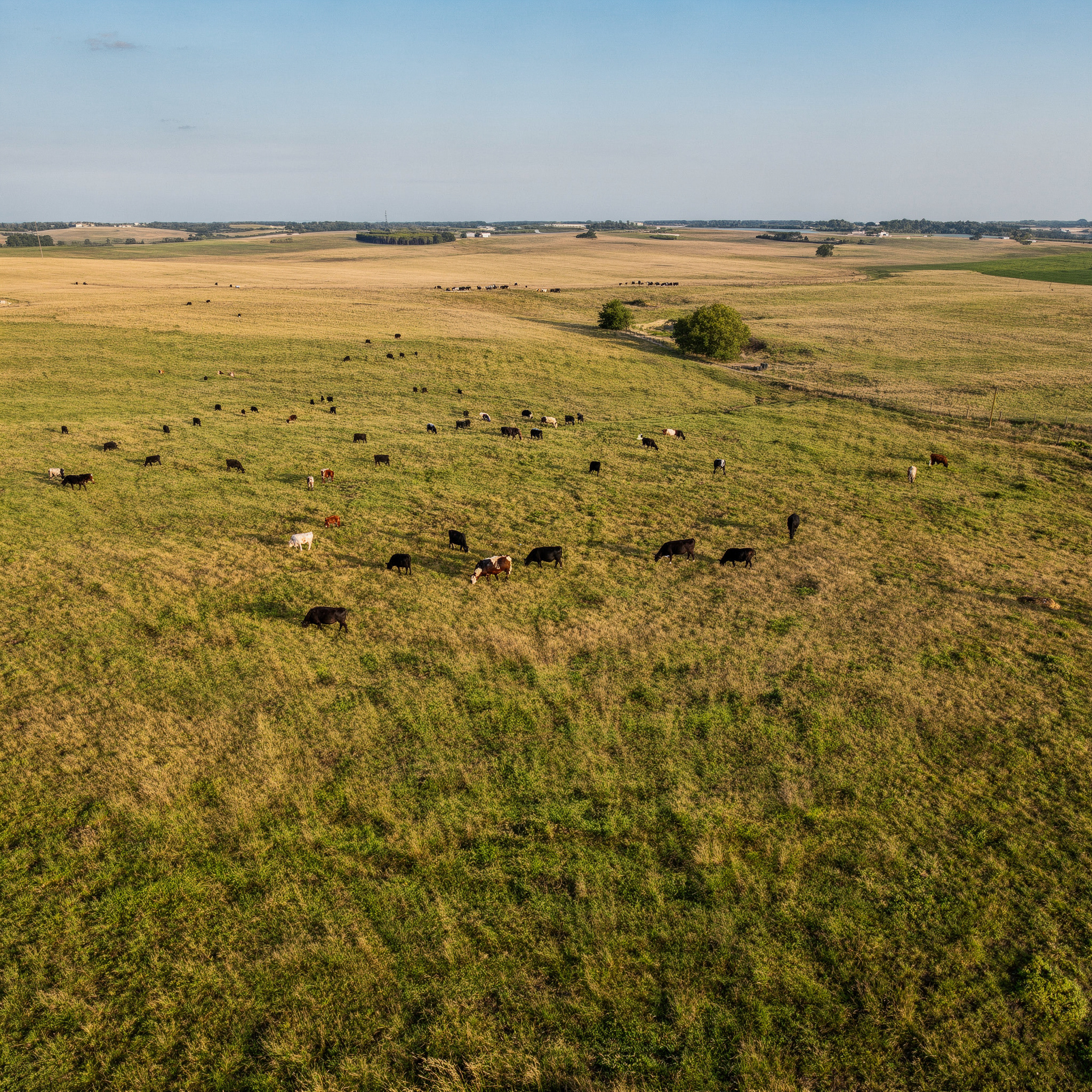
Agriculture Precision Mapping: High-resolution aerial mapping and crop health imagery to show you exactly what’s happening in your fields. Aerial documentation for storm-damaged crops—clear, accurate, and defensible.
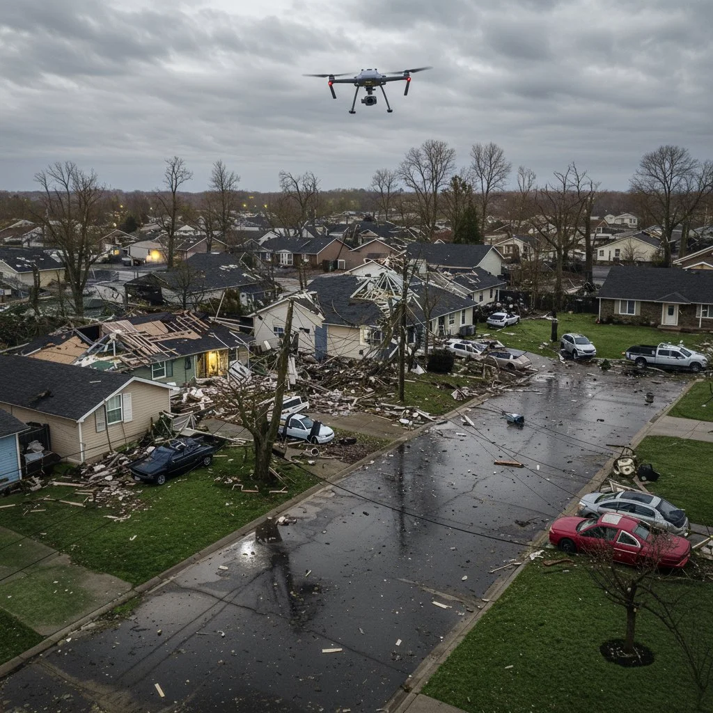
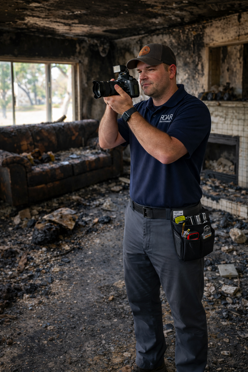
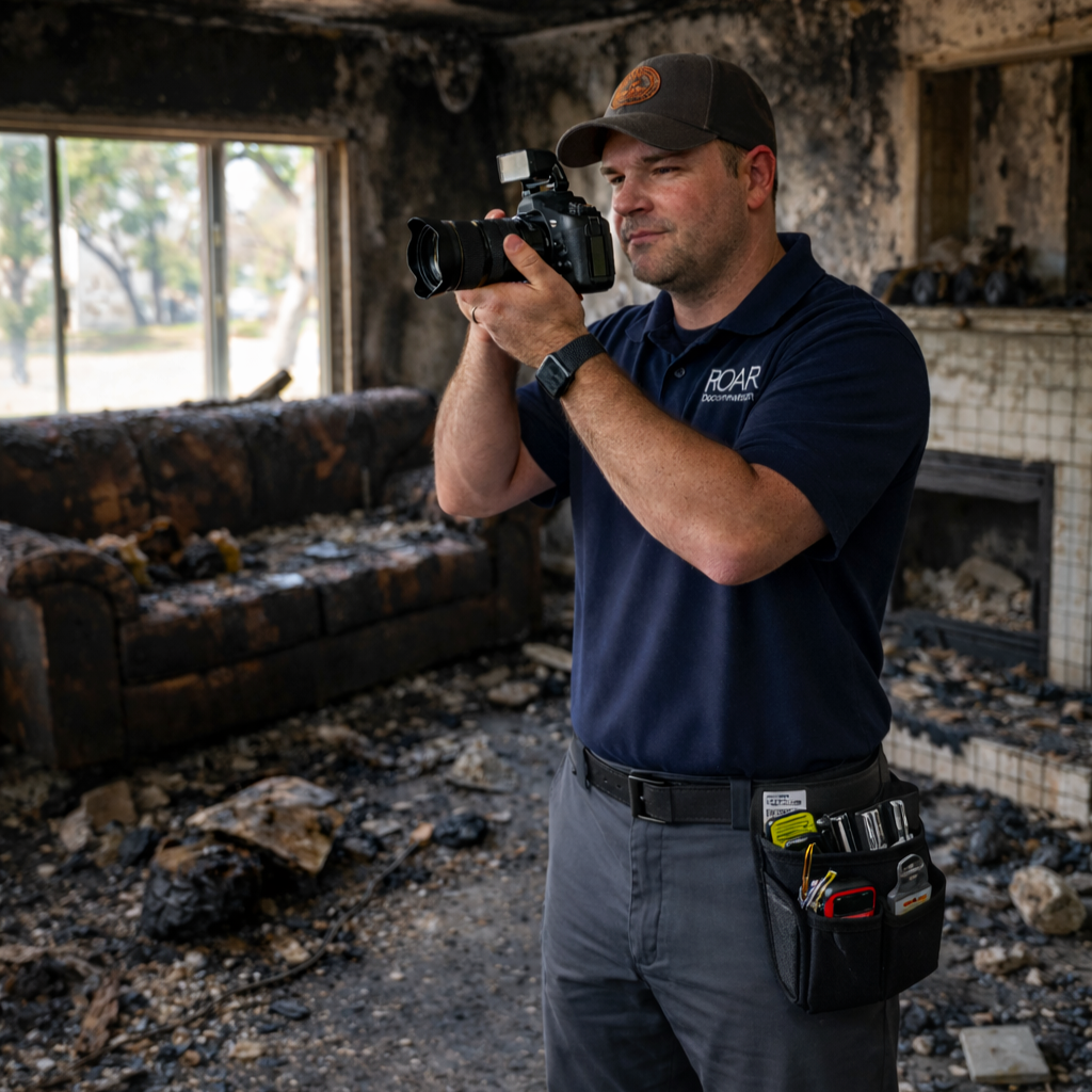
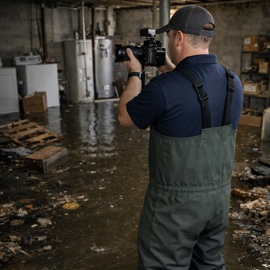
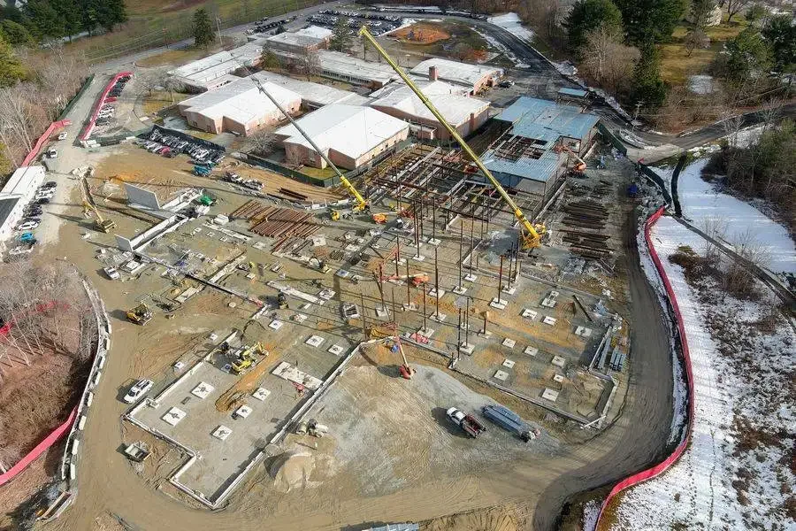
Insurance/PA: roof/exterior capture, orthomosaics, 3D, annotated claim packs
Flexible engagement: per-call or retainer with predictable pricing
Contact us
Please use this form to request services. I’ll follow up promptly to discuss your needs, plan the project, and identify any additional services that may be helpful.