

Who we are
ROAR Drones (Rapid Onscene Aerial Response) is a Kansas-based aerial services company providing storm damage documentation, ranch and agricultural aerial support, and construction progress mapping for clients across south-central Kansas.
ROAR’s mission is simple: deliver reliable, defensible aerial data that helps landowners, contractors, and decision-makers clearly understand conditions on the ground and act with confidence.
Our services are built around real-world needs—accurate documentation, efficient turnaround, and deliverables that are practical and ready to use. Every mission is planned deliberately, flown safely, and executed with a focus on consistency and clarity rather than unnecessary complexity.
Built for Real-World Conditions
ROAR specializes in aerial documentation and mapping that supports:
Post-storm damage assessment and verification
Ranch and agricultural operations, including large-acreage visibility
Construction progress tracking and site documentation
Workflows are designed to function in changing conditions, tight timelines, and environments where dependable information matters. Data is captured intentionally, processed efficiently, and delivered in formats that support clear communication and review.
Service Area & Operations
ROAR serves south-central Kansas and surrounding areas, typically within a two-hour drive of Halstead, Kansas. All operations are conducted under FAA Part 107, with safety, accuracy, and turnaround time guiding every flight.
About the Founder — Joey Donaldson
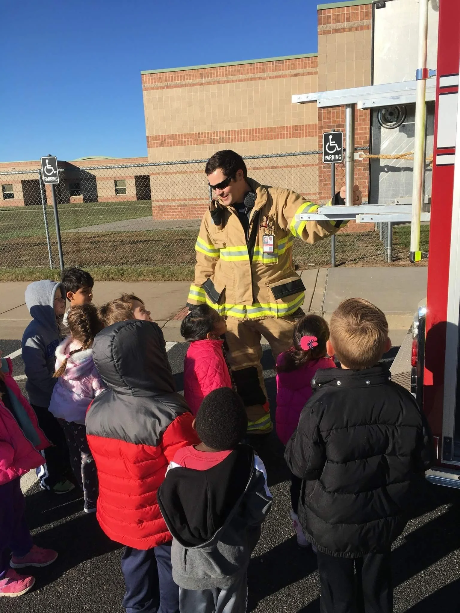
I’m Joey Donaldson, a former U.S. Navy aircrewman, firefighter, and state-commissioned fire investigator with over a decade of experience in aviation and emergency operations. That background directly shapes how ROAR operates.
Having worked in environments where incomplete or unreliable information carries real consequences, I understand the value of accurate aerial data. ROAR was built to bring that level of discipline and reliability to commercial, agricultural, and land-based operations across rural Kansas.
While ROAR primarily serves commercial clients, the company also maintains a limited Community Support initiative, providing no-cost or reduced-cost aerial assistance to local public safety agencies when capacity allows. This effort reflects a commitment to giving back to the same communities that shaped ROAR.
No matter the mission, the approach remains the same:
show up prepared, fly with purpose, and deliver data you can trust.
Contact us
Interested in working together? Fill out some info and we will be in touch shortly. We can’t wait to hear from you!