

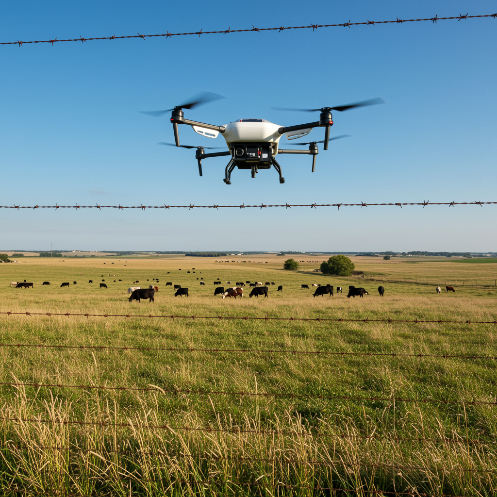
 Image 1 of 2
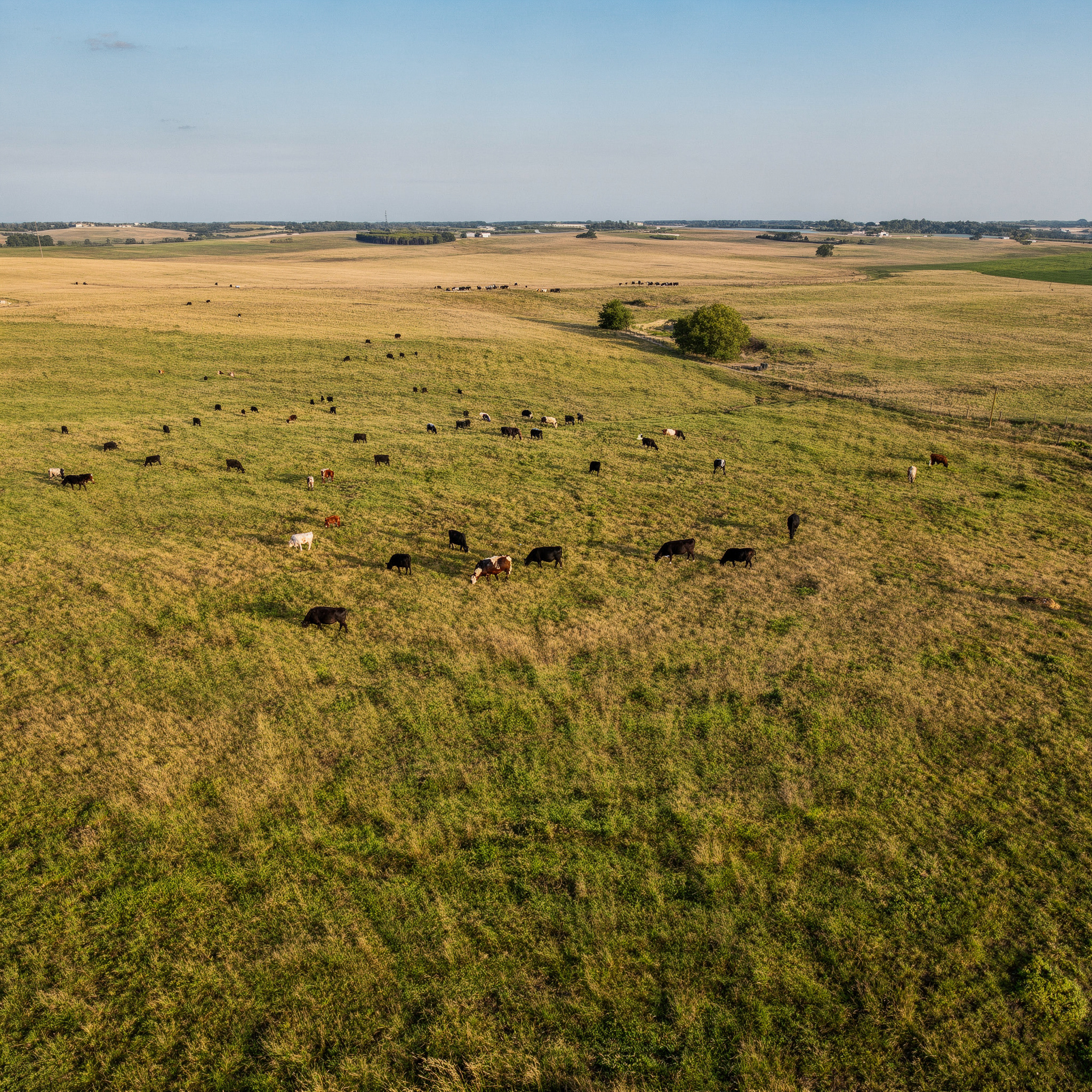 Image 2 of 2
How ROAR Supports Ranch Operations
ROAR provides aerial services designed to be useful, straightforward, and efficient for day-to-day ranch management, including:
Fence line flyovers to visually check posts, corners, gates, and access points
Locating and counting cattle across large or hard-to-reach pastures
Monitoring herd movement and general pasture conditions
Aerial overview of property layout, access routes, and water locations
High-resolution photos and short video clips delivered after each flight
Services are conducted with minimal disruption to livestock and focused on providing clear, usable information.
Why Use Aerial Ranch Checks?
In minutes, a drone can cover what might take hours on horseback or in a truck—reducing fuel use, equipment wear, and unnecessary miles. Aerial checks help identify where attention is needed before committing time and resources on the ground.
ROAR is Kansas-based, easy to work with, and focused on delivering practical results—not flashy technology.
Ranch Service Pricing
Pricing is straightforward and based on typical ranch use cases.
Ranch Aerial Check
$300 – $450 per visit
Includes:
On-site drone deployment
Fence line and pasture flyovers
Herd location and overview imagery
High-resolution photos and short video clips
Digital delivery within 24 hours
Best suited for periodic checks, absentee landowners, or seasonal monitoring.
Large Acreage Ranch Mapping
$2.50 – $4.00 per acre
(minimum charge applies)
Includes:
Full property overview flight
High-resolution orthomosaic map
Reference imagery for fences, gates, and access points
Ideal for baseline documentation, new property ownership, or large pasture planning.
Ranch Support Plans
Starting at $600 – $1,200 per month
Includes:
2–4 scheduled aerial checks per month
Priority scheduling
Consistent documentation over time
Discounted additional flights as needed
Designed for busy operators or landowners who want regular visibility without frequent on-site checks.
Important Notes
Services focus on observation and documentation only
No livestock health diagnosis or veterinary assessment is provided
Availability may be weather-dependent for safety and animal welfare
Request Ranch Services
If you’re not sure whether aerial ranch support fits your operation, reach out to discuss your property and needs. ROAR is happy to talk through options and recommend what makes sense for your ranch.